
Sistem Informasi Geografik untuk Penataan Ruang Wilayah Maritim:Menuju Kerangka Terintegrasi untuk Keamanan Maritim (Systematic Review)
Article Sidebar
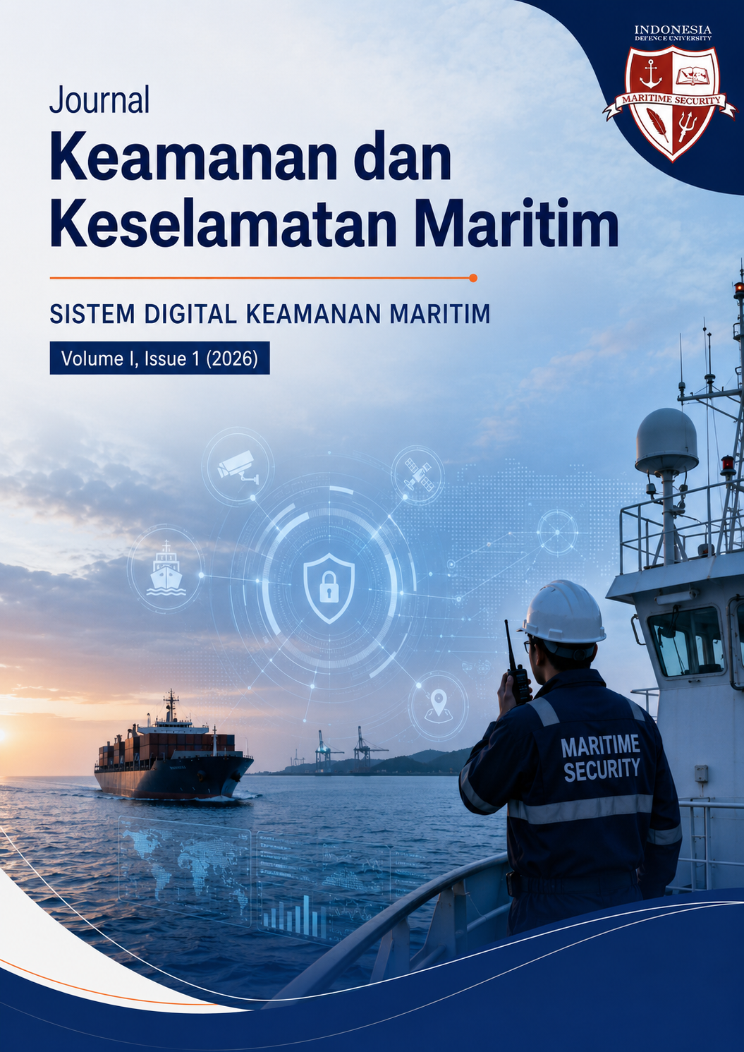
Main Article Content
Abstract
Pertumbuhan pesat aktivitas maritim dan peningkatan ancaman terhadap keamanan laut menuntut adanya alat pengelolaan spasial yang canggih. Sistem Informasi Geografis telah muncul sebagai teknologi kunci dalam Maritime Spaatial Planning/MSP dan kesadaran domain maritime/MDA. Namun, sintesis literatur yang menghubungkan teknologi SIG, perencanaan tata ruang laut, dan keamanan maritim masih terbatas. Studi ini bertujuan untuk mengidentifikasi, menganalisis, dan mensintesis literatur yang telah ditinjau mengenai penerapan GIS dan teknologi geospasial dalam perencanaan tata ruang maritim dalam konteks keamanan maritim, sehingga menyediakan pengetahuan untuk pembuatan kebijakan dan penelitian selanjutnya. Metodologi yang digunakan adalah Preferred Reporting Items for Systematic Reviews and Meta-Analyses (PRISMA), dengan data dari Dimensions AI menggunakan strategi pencarian Boolean empat tahap yang difilter untuk artikel jurnal yang diterbitkan antara tahun 2015 dan 2026. Dari kumpulan awal 82 artikel yang diperoleh melalui pencarian string khusus bidang (String 4), total 33 artikel dipilih untuk dimasukkan ke dalam analisis akhir setelah penyaringan sistematis berdasarkan tiga kriteria: unsur GIS/geospasial, konteks maritim, dan relevansi keamanan/pengawasan/perencanaan ruang. Kumpulan artikel ilmiah menunjukkan lima kelompok utama: deteksi dan pelacakan kapal menggunakan teknologi berbasis satelit dan AIS; kerangka kerja dan tata kelola perencanaan ruang maritim; kesadaran domain maritim dan pengawasan keamanan; infrastruktur data geospasial untuk aplikasi maritim; implementasi spesifik konteks termasuk negara kepulauan dan pengelolaan zona pesisir. Hasil studi menunjukkan integrasi GIS dengan data Sistem Identifikasi Otomatis/AIS, penginderaan jauh, dan kecerdasan buatan secara signifikan meningkatkan kesadaran situasional maritim dan efektivitas perencanaan ruang. Kesimpulan studi didapati perencanaan tata ruang maritim yang terintegrasi dengan GIS merupakan alat penting untuk memperkuat keamanan maritim.
Article Details
Section
How to Cite
References
Abdeladhim, N., Alaya, B., & Touati, H. (2026). A comprehensive survey of machine learning-based techniques for anomaly detection in ship behavior within maritime transportation systems. Engineering Applications of Artificial Intelligence. https://doi.org/10.1016/j.engappai.2025.112596
Alexandre, C., Devillers, R., Mouillot, D., Seguin, R., & Catry, T. (2024). Ship Detection With SAR C-Band Satellite Images: A Systematic Review. IEEE Journal of Selected Topics in Applied Earth Observations https://doi.org/10.1109/jstars.2024.3437187 and Remote Sensing.
Aprian, M., Adrianto, L., Boer, M., Kurniawan, F., & Setiawan, R. (2025). Institutionalizing Indonesia’s Commercial Fisheries: Insights From Fleet Dynamics and Vessel Monitoring Systems. Fisheries Management and Ecology. https://doi.org/10.1111/fme.70041
Barale, V., Dusart, J., Assouline, M., & Niceta, F. (2017). European Atlas of the Seas: “a picture is worth a thousand words.” Journal of Coastal Conservation. https://doi.org/10.1007/s11852-017-0560-2
Bokau, J. R. K., Young-Soo, P., & Dae-Won, K. (2025). Implementing Buffer Zones Around Nusa Penida Island in the Lombok Strait to Enhance Maritime Safety & Environmental Protection. IOP Conference Series: Earth and Environmental Science. https://doi.org/10.1088/1755-1315/1461/1/012046
Delaney, C., Alessandrini, A., & Greidanus, H. (2016). Using message brokering and data mediation on earth science data to enhance global maritime situational awareness. IOP Conference Series: Earth and Environmental Science. https://doi.org/10.1088/1755-1315/34/1/012005
Gohari, A., Ahmad, A. B., & Oloruntobi, O. O. (2023). Recent Drone Applications in Malaysia: An Overview. The International Archives of the Photogrammetry, Remote Sensing and Spatial Information Sciences. https://doi.org/10.5194/isprs-archives-xlviii-4-w6-2022-131-2023
Haris, O. K., Syahbudin, & Yunus, A. (2019). Legal Existence of Local Wisdom for Bajo Fishery Tribe on Indonesian Maritime Border. Hasanuddin Law Review. https://doi.org/10.20956/halrev.v5i1.1727
Hossain, K. A. (2025). Latest Technology: Best Choice to Develop Future Navy. BIMRAD 184 XXXXX XXXXX XXXXX Volume XX, Issue XX, 20XX Journal. https://doi.org/10.3329/bimradj.v5i1.79601
Huang, S., Sun, T., Shi, J., Gong, P., Yang, X., Zheng, J., Zhuang, H., & Ouyang, Q. (2024). Trading Community Analysis of Countries’ Roll-On/Roll-Off Shipping Networks Using Fine-Grained Vessel Trajectory Data. Sensors, 24(22), 7226. (pub.1182296545). https://doi.org/10.3390/s24227226
Iroanya, R. O., & Simataa, C. (2024). Illegal Fishing and Maritime Security: Historical and Contemporary Challenges in Namibia. Scientia Militaria: South African Journal of Military Studies. https://doi.org/10.5787/52-3-1485
Isbaex, C., dos Reis Fernandes Costa, F., & Batista, T. (2025). Application of GIS in the Maritime-Port Sector: A Systematic https://doi.org/10.3390/su17083386 Review. Sustainability.
Islam, A., Sadi, S. H., & Shampa, M. T. A. (2026). Smart Ocean: A Comprehensive Review of Artificial Intelligence-Driven Ocean Monitoring, Forecasting, Exploration and Conservation. BIMRAD Journal. https://doi.org/10.3329/bimradj.v6i1.87345
Kalyvas, C., Kokkos, A., & Tzouramanis, T. (2017). A survey of official online sources of high-quality free-of-charge geospatial data for maritime GIS applications. Information Systems. https://doi.org/10.1016/j.is.2016.11.002
Kanjir, U., Greidanus, H., & Ostir, K. (2018). Vessel detection and classification from spaceborne optical images: A literature survey. Remote Sensing of Environment. https://doi.org/10.1016/j.rse.2017.12.033
Li, J., Liu, J., Liu, C., & Jiang, P. (2026). Automated Graph-Based Path Planning for Navigating Maritime Traffic. IEEE Transactions on Intelligent Transportation Systems. https://doi.org/10.1109/tits.2026.3678113
Li, M. L., Ota, Y., Underwood, P. J., Reygondeau, G., & Seto, K. (2021). Tracking industrial fishing activities in African waters from space. Fish and Fisheries. https://doi.org/10.1111/faf.12555
Nasr, A. N., Oruc, A., Lugo, R., Zaitseva-Parnaste, I., & Kujala, P. (2026). A Proactive Defense: An Open-Source Intelligence (OSINT) Framework for Maritime Cybersecurity. IEEE Access. https://doi.org/10.1109/access.2026.3673557
Nugraha, A., & Chen, R. L. (2023). The current legal regime of the Indonesian outer small islands. Griffith https://doi.org/10.1080/10383441.2024.2362499 Law Review.
Rafael, T., Cabral, H., Mourato, J., & Ferrao, J. (2024). Marine spatial planning: A systematic literature review on its concepts, approaches, and tools (20042020). Maritime Studies. https://doi.org/10.1007/s40152-023-00349-7
Rahmawati, M., Pitana, T., Handani, D. W., & Siswantoro, N. (2025). Utilization of AIS Data and Ship Simulator Integration in Maritime Safety: A Systematic Literature Review. IOP Conference Series: Earth and Environmental Science. https://doi.org/10.1088/1755-1315/1461/1/012049
Rahmoun, T., Zhao, W., Hammad, M., & Hassan, M. (2018). Ruralization vs. Urbanization Sprawl as Guiding Regional Planning. IOP Conference Series: Earth and Environmental Science. https://doi.org/10.1088/1755-1315/151/1/012033
Restrepo-Arias, J. F., Branch-Bedoya, J. W., & Zapata-Cortes, J. (2022). Industry 4.0 Technologies Applied to Inland Waterway Transport: Systematic Literature Review. Sensors. https://doi.org/10.3390/s22103708
Ribeiro, C. V., Paes, A., & de Oliveira, D. (2023). AIS-based maritime anomaly traffic detection: A review. Expert Systems https://doi.org/10.1016/j.eswa.2023.120561 with Applications.
Riveiro, M., Pallotta, G., & Vespe, M. (2018). Maritime anomaly detection: A review. WIREs Data Mining and Knowledge Discovery. 185 XXXXX XXXXX XXXXX Volume XX, Issue XX, 20XX https://doi.org/10.1002/widm.1266
Robertson, C., & Horrocks, K. (2017). Spatial Context from Open and Online Processing (SCOOP). ISPRS International https://doi.org/10.3390/ijgi6070193 Journal of Geo-Information.
Ryan, B. J. (2015). Security spheres: A phenomenology of maritime spatial practices. Security Dialogue. https://doi.org/10.1177/0967010615598049
Santos, C. F., Agardy, T., Crowder, L. B., Day, J. C., Himes-Cornell, A., Pinsky, M. L., Reimer, J. M., & Gissi, E. (2024). Ocean Planning and Conservation in the Age of Climate Change: A Roundtable Discussion. Integrative Organismal Biology, 6(1), obae037. (pub.1176013984). https://doi.org/10.1093/iob/obae037
Schofield, C. (2021). Geographical Dimensions to Global Oceans Governance. Geographical Review. https://doi.org/10.1080/00167428.2020.1852879
Shabbir, Z., Sarosh, A., & Nayyer, M. (2019). Space Technology Applications for Maritime Intelligence, Surveillance, and Reconnaissance. Astropolitics. https://doi.org/10.1080/14777622.2019.1636634
Stoddard, M. A., Etienne, L., Fournier, M., Pelot, R., & Beveridge, L. (2016). Making sense of Arctic maritime traffic using the POLARIS System. IOP Conference Series: Earth and Environmental 1315/34/1/012034 Science. https://doi.org/10.1088/1755
Yan, Z., Shi, K., He, R., Ye, P., & Wang, Y. (2026). A Fine-Grained Behavior Classification Method for Oil Tankers Based on BiLSTM. International Journal of Naval Architecture and Ocean https://doi.org/10.1016/j.ijnaoe.2026.100749 Engineering.
Zhou, X., Huang, Z., Xia, T., Zhang, X., Duan, Z., Wu, J., & Zhou, Z. (2025). The integrated application of big data and geospatial analysis in maritime transportation safety management. International Journal of Applied Earth Observation and Geoinformation. https://doi.org/10.1016/j.jag.2025.104444